
Imagery is critically important for understanding what is on the ground, whether that is large-scale images of forests and bare ground or scanning the Earth's surface for elevation models. Having current, up-to-date imagery of both is critical to providing accurate information.
The Missouri Hydrology Information Center (MoHIC) set out to collected and updated imagery of Missouri. Two types of imagery were captured: Leaf-off Imagery and Light Detection and Ranging (LiDAR). Both types of imagery are used in many different applications, varying from watershed modeling to wetland delineations.
Leaf-off Imagery
Leaf-off imagery consists of aerial images taken in the fall or winter, when the trees have shed their leaves. This type of imagery shows the landscape clearly to the ground, even in dense forests. The features captured in this imagery, such as valleys and creek beds, can be used to clarify watershed conditions, runoff, moisture retention and modeling.
In 2023, MoHIC worked with Missouri Spatial Data Information Services (MSDIS) to collect six-inch resolution leaf-off imagery for the northern half of Missouri. The southern half of Missouri was collected in 2024. The resulting imagery is the latest available aerial photography of Missouri. MSDIS currently offers both tiled cache and dynamic cache services of this imagery, free to the public.
Light Detection and Ranging (LiDAR)
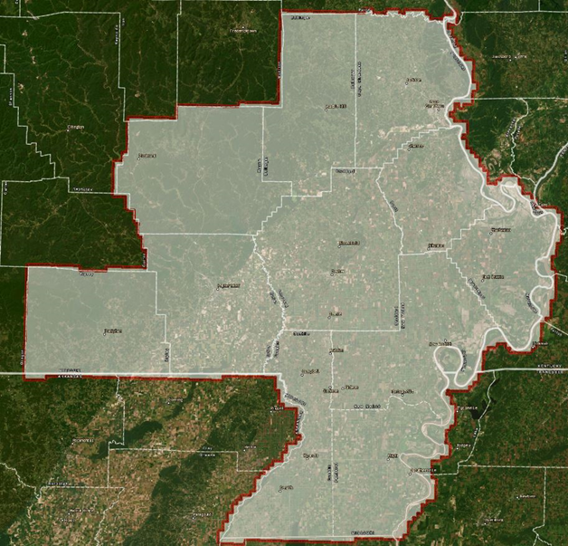
LiDAR is a remote-sensing technology that uses laser pulses to measure surfaces and objects to create three dimensional (3D) elevation models. MoHICs LiDAR project in southeast Missouri included updating older LiDAR for 11 counties, covering 7,314 square miles.
In 2023, MoHIC applied to the U.S. Geological Survey’s (USGS) 3D Elevation Program (3DEP), which involved collecting current high-quality topographic data and 3D representations. USGS' Data Collection Announcement (DCA) provided a mechanism for MoHIC to partner with USGS to cost share collecting the new LiDAR. MoHIC was granted a 25% Federal cost share on the project. The new Quality Level 1 LiDAR was collected in Spring 2024. This imagery, which is replacing the older Quality Level 2 LiDAR will be available free to the public in 2027.